[ Up ] [ Stade Thomas Tetlow ] [ Tetlow ] [ Tetlow Avenue ] [ Tetlow Bridge ] [ Tetlow Brook ] [ Tetlow Building ] [ Tetlow Fold 1 ] [ Tetlow Fold 2 ] [ Tetlow Fountain ] [ Tetlow Grove ] [ Tetlow Lane ] [ Tetlow Place 1 ] [ Tetlow Place 2 ] [ Tetlow Road ] [ Tetlow Street 1 ] [ Tetlow Street 2 ] [ Tetlow Street 3 ] [ Tetlow Street 4 ] [ Tetlow Street 5 ] [ Tetlow Street 6 ] [ Tetlow Street 7 ] [ Tetlow Terrace ] [ Tetlow Well ] [ Tetlow Yard ] [ Tetlows ]
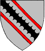
Tetlows
Location
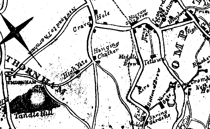
The farm by the name of Tetlows is shown on the following 1817 map of the
area to the north of Oldham.
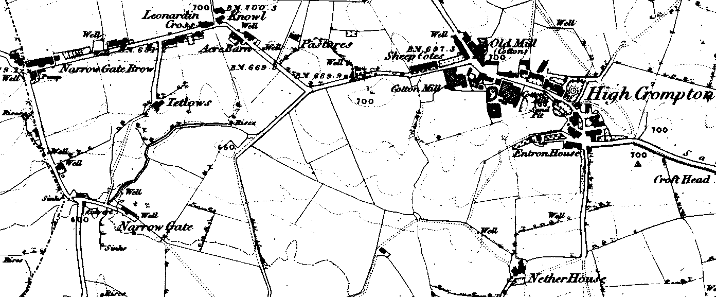
Tetlows is also shown on the 1848 OS map
Today, whilst not marked on the map, the location of Tetlows is in Oldham
between the B6194 (Rochdale Road) and the A671 (also Rochdale Road).
Photos
 |
 |
|
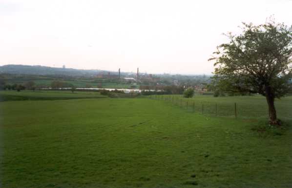
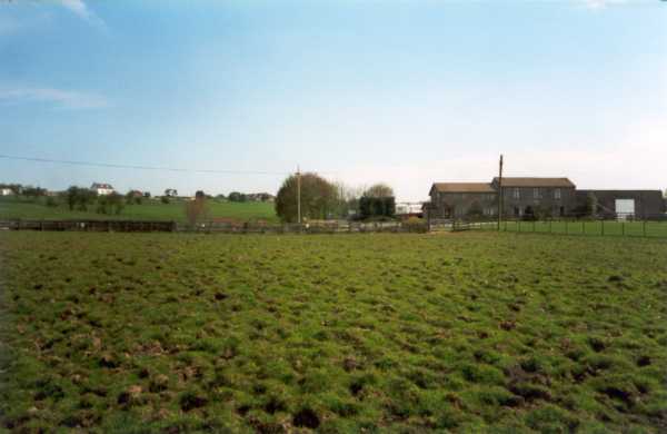
On my trip to Manchester and its environs I could not
find the farm Tetlows - I suspect probably because it no longer exists!
However, because of the foot and mouth restrictions I was not able to
use the footpaths in the area which would have taken me closer and was
restricted to the main roads instead.
The photo on the left was taken from Thornham Road
between High Crompton and Narrow Gate Brow, at the head of the footpath
which should lead south, down to Tetlows. In the distance, beyond the
caravan park can be seen Oldham. The photo on the right is taken from
Fir Lane, with Narrow Gate farm on the right (where the caravans are
parked) looking northwards up to Thornham Road. The white house on the
ridge is where I took the photo on the left. |
History
Tetlows is near Narrow Gate and classified as being in
Thornham. Bill Dowdell believes that the Tetlows who lived here did not stay very long. Nothing is known about them except for the odd entries in the
bishops transcripts for St. Mary, Oldham.