
|
|
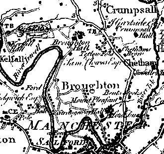
Tetlow Fold, CheethamLocationThe following map is extracted from Yates' 1786 map of Lancashire and shows Tetlow Fold and its location in relation to Manchester and the surrounding area:
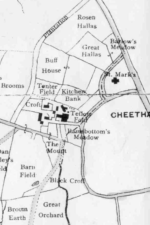
Bill Dowdell has supplied the following map, G1808, Estate Plans Maps, which shows Tetlow Fold, just off the Bury Old Road which runs through Cheetham Hill northwards towards Crumpsall:
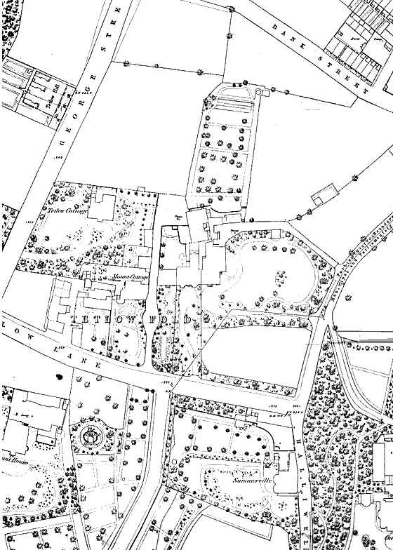
The following map, also courtesy of Bill Dowdell, shows the Tetlow village near Broughton (more usually known as Tetlow Fold, Cheetham) in quite a bit more detail, circa 1848:
HistoryTETLOW was an estate partly in Broughton and partly in Cheetham, held in the 14th century by a family using the local surname, the service due being the fortieth (later, sixteenth) part of a knight's fee and a rent of 6s. 8d. It passed by marriage to the Langleys of Agecroft, and then descended with the Reddish to the Cokes. The name Tetlow has long been disused, but is preserved in Tetlow Lane. (Victoria County History of Lancashire). In an article about Strangeways, Tetlow Fold is mentioned: Martincroft's fine map of 1641 is the earliest map that
survives of Strangeways. All fields are shown, together with their names and
acreages, both statutory and customary. Strangeways Hall is sketched, together
with the mill and the one or two other buildings that then existed. Strangeways
Lane, later Great Ducie Street, is but a private bridle track running over the
property. In the words of one of Strangeway's inhabitanta who could remember the
days before Waterloo: "...the high road was through Strangeways, along
Broughton Lane and the Lower Broughton Road, on to Broom Lane, past Clowes Park
and through Tetlow Fold to the old Bury Road." The Lane was connected to
Manchester by Hunt's Bank Bridge, a simple narrow structure "so
insignificant that two vehicles could not pass. It gave entrance to what was
called Strangeways Walk, with fields on the left, whilst upon the right were the
pleasant grounds of Hunts Bank Hall, the residence of one of the Clowes
family." |
|
Date page was last edited: 29 October 2001 |