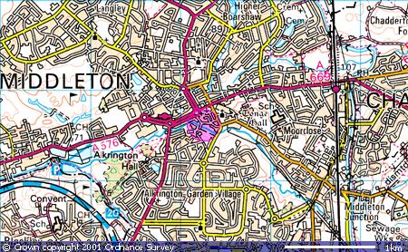
Tetlow Street 5    Tetlow Coat of Arms

Researching Tetlows World-wide


Up ] Stade Thomas Tetlow ] Tetlow ] Tetlow Avenue ] Tetlow Bridge ] Tetlow Brook ] Tetlow Building ] Tetlow Fold 1 ] Tetlow Fold 2 ] Tetlow Fountain ] Tetlow Grove ] Tetlow Lane ] Tetlow Place 1 ] Tetlow Place 2 ] Tetlow Road ] Tetlow Street 1 ] Tetlow Street 2 ] Tetlow Street 3 ] Tetlow Street 4 ] [ Tetlow Street 5 ] Tetlow Street 6 ] Tetlow Street 7 ] Tetlow Terrace ] Tetlow Well ] Tetlow Yard ] Tetlows ]

Tetlow Street, Middleton, M24 1BG

Location

Tetlow Street, Little Park, Middleton is accessed via Ashton Lane off the roundabout where the A669 (Oldham Road) meets the A664 (Assheton Way). The street is not far from Alkrington Hall, home of John Tetlow, the banker, of Scholes & Tetlow, circa 1800. Map co-ordinates are (N53:32:49 W2:11:32). The following Ordnance Survey map shows the locality (the pink circle):

OS Map of Tetlow Street, Middleton

Image produced from the Ordnance Survey Get-a-map service. Image reproduced with kind permission of Ordnance Survey and Ordnance Survey of Northern Ireland.

Whilst a more detailed street map can be accessed by following this link (note however that to return to this site you will need to use the back button on your browser). 
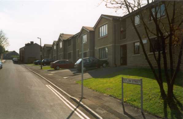
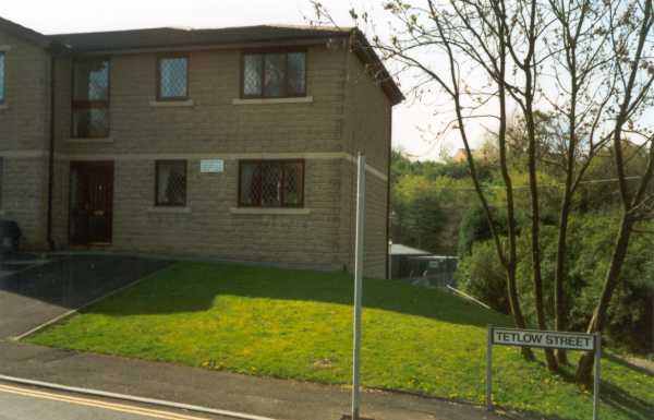
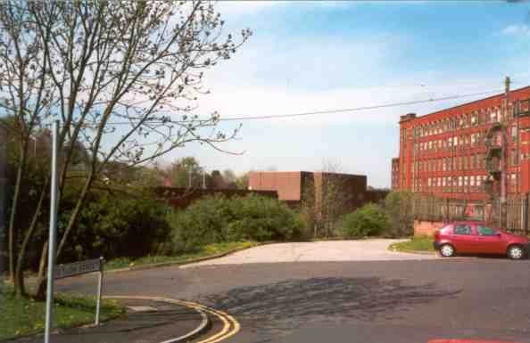
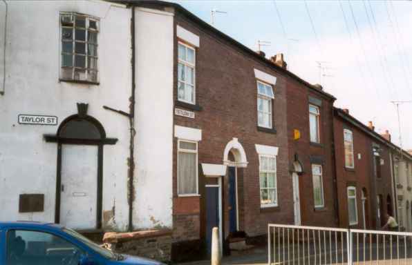
Photos

Tetlow Street runs in an east to west direction and is a no-through road. The street contains both new housing and some older properties.


Tetlow Street, Middleton 2001 Tetlow Street, Middleton 2001

The photograph above was taken looking along Tetlow Street from west to east, where the new houses have been built. Top right is facing south, whilst the photo on the right is looking west across Ashton Lane towards one of the old mill buildings.

Tetlow Street, Middleton 2001
Tetlow Street, Middleton 2001 Tetlow Street, Middleton 2001

The photograph on the left is taken from the east end of Tetlow Street where it meets Taylor Street, whilst the photo on the right looks back down the street .

Home Up

Date page was last edited: 29 October 2001