[ Up ] [ Stade Thomas Tetlow ] [ Tetlow ] [ Tetlow Avenue ] [ Tetlow Bridge ] [ Tetlow Brook ] [ Tetlow Building ] [ Tetlow Fold 1 ] [ Tetlow Fold 2 ] [ Tetlow Fountain ] [ Tetlow Grove ] [ Tetlow Lane ] [ Tetlow Place 1 ] [ Tetlow Place 2 ] [ Tetlow Road ] [ Tetlow Street 1 ] [ Tetlow Street 2 ] [ Tetlow Street 3 ] [ Tetlow Street 4 ] [ Tetlow Street 5 ] [ Tetlow Street 6 ] [ Tetlow Street 7 ] [ Tetlow Terrace ] [ Tetlow Well ] [ Tetlow Yard ] [ Tetlows ]
Tetlow Street, Manchester Road, Oldham, OL8 1TQ
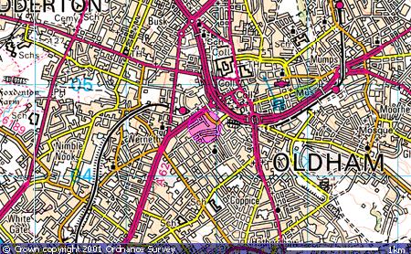
Location
Tetlow Street, Oldham is off the A62, Manchester Road,
Oldham. Map co-ordinates are ( N53:32:14 W2:07:21). The following
Ordnance Survey map shows the locality (the pink circle):
Whilst a more detailed street map can be accessed by
following this link (note however that to return to this site you will need to
use the back button on your browser).
Photos
 |
 |
|
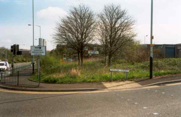
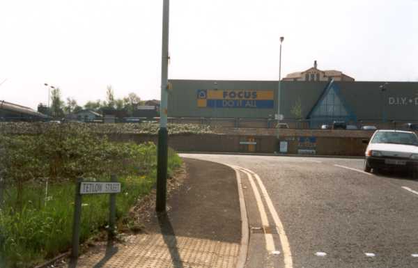
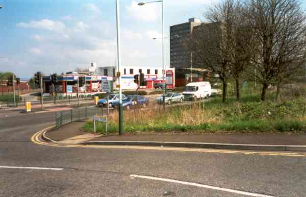
Tetlow Street is a short access street from the A62
(Manchester Road) to the Coppice Industrial Estate. When I was there,
there was lots of building activity taking place on the right hand side
of the road. I didn't take a photograph as it's all boarded up, but it
looks like another major building.
If you miss the Tetlow Street turn off then doing a
U-turn on the A62 is not easy!!!! |
 |