
|
|
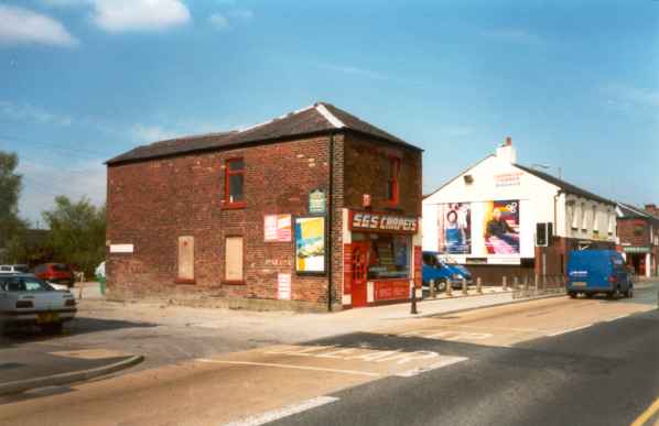
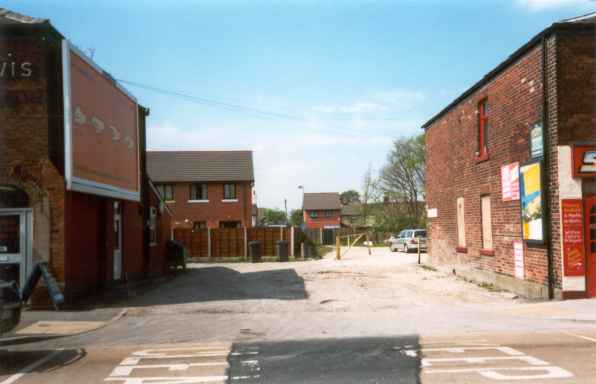
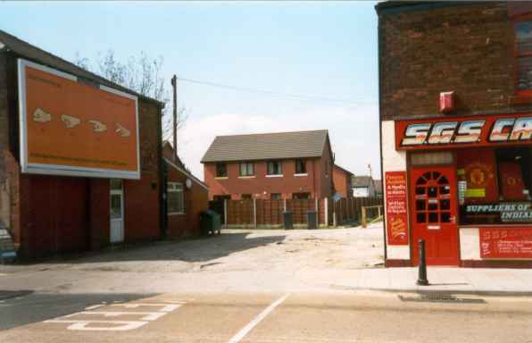
Tetlow Street, Hyde, CheshireLocationTetlow Street in Hyde just off the continuation of Ashton Road after the B6170 turns west into Bennett Street, which leads to Flowery Field railway station. The extract set out below was found on the Tameside local government web-site and this indicates that the area was recently planned for re-development (as part of the Hyde regeneration scheme).
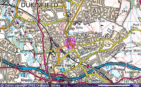
Map co-ordinates are ( N53:27:48 W2:04:28). The following Ordnance Survey map shows the locality (the pink circle):
Whilst a more detailed street map can be accessed by following this link (note however that to return to this site you will need to use the back button on your browser). An aerial photograph can also be accessed from this same link.
Photos
|
|
Date page was last edited: 29 October 2001 |