[ Up ] [ Stade Thomas Tetlow ] [ Tetlow ] [ Tetlow Avenue ] [ Tetlow Bridge ] [ Tetlow Brook ] [ Tetlow Building ] [ Tetlow Fold 1 ] [ Tetlow Fold 2 ] [ Tetlow Fountain ] [ Tetlow Grove ] [ Tetlow Lane ] [ Tetlow Place 1 ] [ Tetlow Place 2 ] [ Tetlow Road ] [ Tetlow Street 1 ] [ Tetlow Street 2 ] [ Tetlow Street 3 ] [ Tetlow Street 4 ] [ Tetlow Street 5 ] [ Tetlow Street 6 ] [ Tetlow Street 7 ] [ Tetlow Terrace ] [ Tetlow Well ] [ Tetlow Yard ] [ Tetlows ]
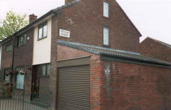
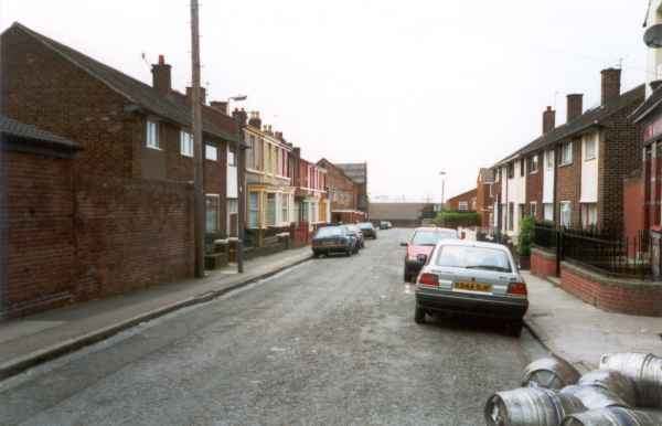
Tetlow Street, Kirkdale, Liverpool, L4 4LE
Location
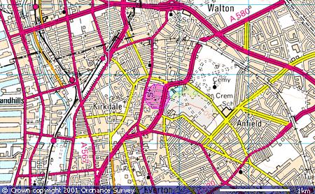
Tetlow Street, Kirkdale, Liverpool, L4 4LE runs off Tetlow
Way, which is off Langham Street Industrial Estate, L4 4QS. Tetlow
Street can be accessed by pedestrians off the A580, Walton Way, opposite Stanley
Park - just a short walk from the site of Everton Football Club's home ground. Map co-ordinates are
(N53:26:09 W2:58:05). The following Ordnance Survey map shows the locality (the
pink circle):
Whilst a more detailed street map can be accessed by
following this link (note however that to return to this site you will need to
use the back button on your browser).
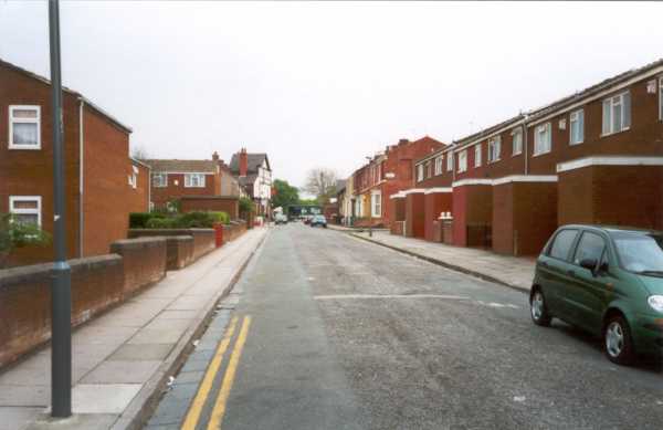
Photos
 |
 |
|
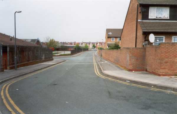
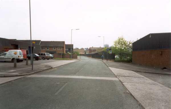
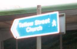
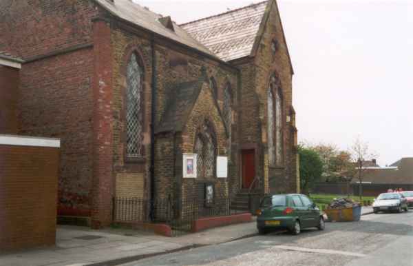
On the left is a poor picture of the pedestrian sign
on Walton Way showing the way to walk to Tetlow Street Church (when
taken it was pointing down Walton Way towards the football ground)! On
the right is Tetlow Street Church, just before the street turns right
into Tetlow Way. |