
|
|
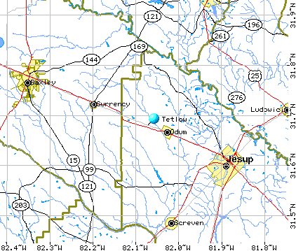
Tetlow, Odum, Wayne County, GeorgiaLocationAs far as I can tell, Tetlow is located between Jesup, Wayne County, Georgia and Baxley, Appling County, Georgia. The blue pin on the map below shows where Tetlow is situated, map reference (N31°40'47" W82°4'17"). I know nothing about the background to this location being called Tetlow, so if you have any relevant information then please get in contact!
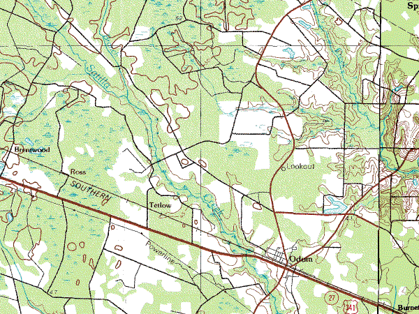
A closer view on the map shows Tetlow in relation to Odum, the nearest town and how the property is just to the north of Highway 341:
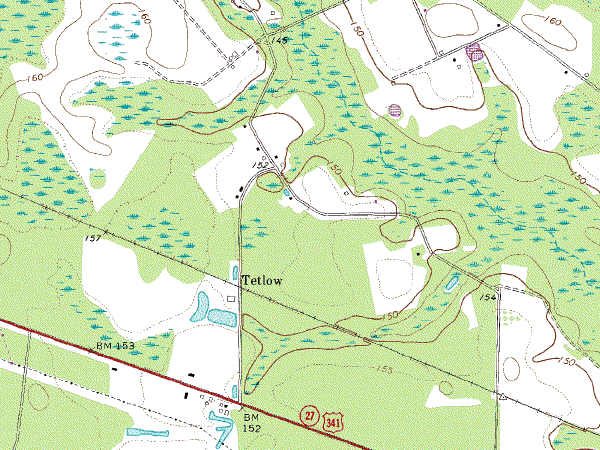
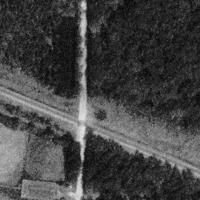
Still closer and as far as I can tell, Tetlow is the building shown to the south-west of the name (i.e. the small rectangle). The road which runs from Highway 341 northwards past Tetlow is known as Tetlon Road, Odum, Georgia, 31555. The marshy channel just south of Tetlow runs into Satilla Creek.
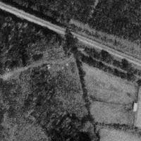
PhotosThis black-and-white aerial photograph shows Tetlow, surrounded by half a dozen fields, with Tetlon Road running from south to north and the railway line in a north westerly direction.
|
|
Date page was last edited: 29 October 2001 |